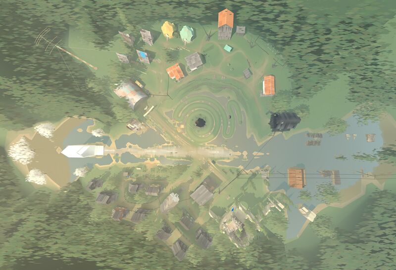
File:Town-Aerial.jpg
Jump to navigation
Jump to search
Size of this preview: 800 × 547 pixels. Other resolutions: 320 × 219 pixels | 6,314 × 4,320 pixels.
Original file (6,314 × 4,320 pixels, file size: 4.32 MB, MIME type: image/jpeg)
File history
Click on a date/time to view the file as it appeared at that time.
| Date/Time | Thumbnail | Dimensions | User | Comment | |
|---|---|---|---|---|---|
| current | 11:44, 21 July 2023 | | 6,314 × 4,320 (4.32 MB) | Eli (talk | contribs) | cropped |
| 11:43, 21 July 2023 |  | 7,680 × 4,320 (4.99 MB) | Eli (talk | contribs) | Converted from File:Town-Aerial.png by User:Nclm |
You cannot overwrite this file.