Even for a low-activity wiki, hosting & rendering many HQ image files takes significant resources and comes with high monthly server costs.
If you're able, please consider contributing to keep the site running to help support this independent, ad-free, fan-run site. Thank you!
Template:Map
Jump to navigation
Jump to search
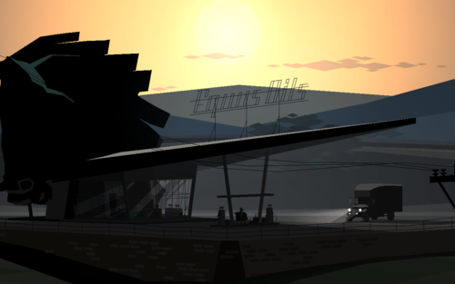
A template for making maps with labels. See Maps.
Use
Define a base map layer, choose a display width, and list the places. X and Y are percentages. Uncomment the 2% grid layer to position the locations.
{{Map/Start|base=FILENAME.png|width=WIDTH}}
<!--{{Map/Grid}}-->
{{Map/Label|X|Y|Label}}
{{Map/Label|X|Y|[[Label with link]]}}
{{Map/Label|X|Y|Label|color=COLOR}}
{{Map/End}}
Tests & Examples
700px
10%
10%
10%
20%
20%
20%
30%
30%
30%
40%
40%
40%
50%
50%
50%
60%
60%
60%
70%
70%
70%
80%
80%
80%
90%
90%
90%