Even for a low-activity wiki, hosting & rendering many HQ image files takes significant resources and comes with high monthly server costs.
If you're able, please consider contributing to keep the site running to help support this independent, ad-free, fan-run site. Thank you!
Difference between revisions of "Maps"
Jump to navigation
Jump to search
(Added link to printable Zero map. Shrank Elkhorn map to the size of all other maps. Linked to Town map's own page instead of embedding it.) |
m |
||
| Line 4: | Line 4: | ||
=== Driving === | === Driving === | ||
| − | :See [[ | + | :See [[Maps/Overworld]] |
| − | [[File:Overworld map.png|250px|link= | + | [[File:Overworld map.png|250px|link=Maps/Overworld]] |
=== Flying === | === Flying === | ||
| Line 28: | Line 28: | ||
== Town == | == Town == | ||
| − | :See [[ | + | :See [[Maps/Town]] |
| − | [[File:Town-Aerial.png|250px|link= | + | [[File:Town-Aerial.png|250px|link=Maps/Town]] |
[[Category:Locations|*]] | [[Category:Locations|*]] | ||
[[Category:Maps|*]] | [[Category:Maps|*]] | ||
Revision as of 01:59, 19 February 2020
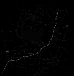
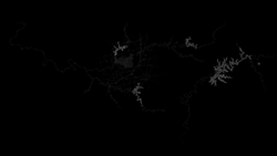
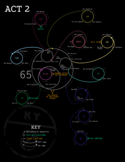
Various maps can be used to spatially navigate the world of Kentucky Route Zero. For a list of locations, see Category:Locations.
Overworld
Driving
- See Maps/Overworld
Flying
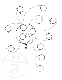
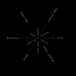
The Zero
An empty, printable map suitable for filling in on your own can be found here:
Elkhorn Mine
Echo River
- Main article: Echo River
|
This section needs expansion. |
Town
- See Maps/Town
